Guiding how we shape and connect spaces for people and nature to thrive.
Parks and public spaces are important in our daily lives, from streets and plazas to trails and playgrounds. As the City of North Vancouver grows, the City is creating a Parks and Public Space Plan to guide how we shape and connect spaces for people and nature to thrive.
The CNV Parks & Public Space Plan will focus on the network of outdoor parks and public spaces within the City. It will look at the experiences and features they offer, where and how they are provided, and how they connect as a system. The plan will set a clear vision and direction so that as the City grows and changes, everyone can enjoy great parks and public spaces. It will also provide practical tools to guide where the City improves existing spaces, acquires new space, adds features, and strengthens connections across the network.
What are parks and public spaces?
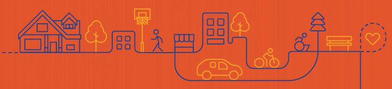
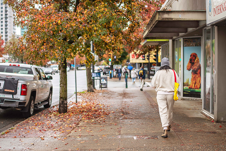
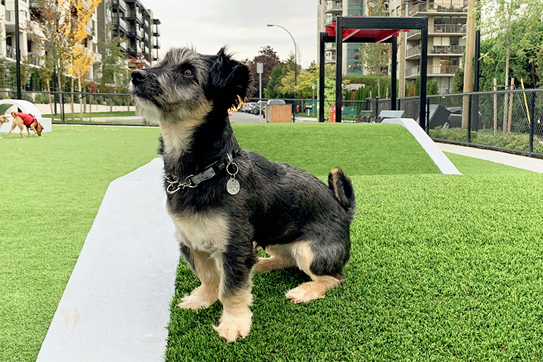
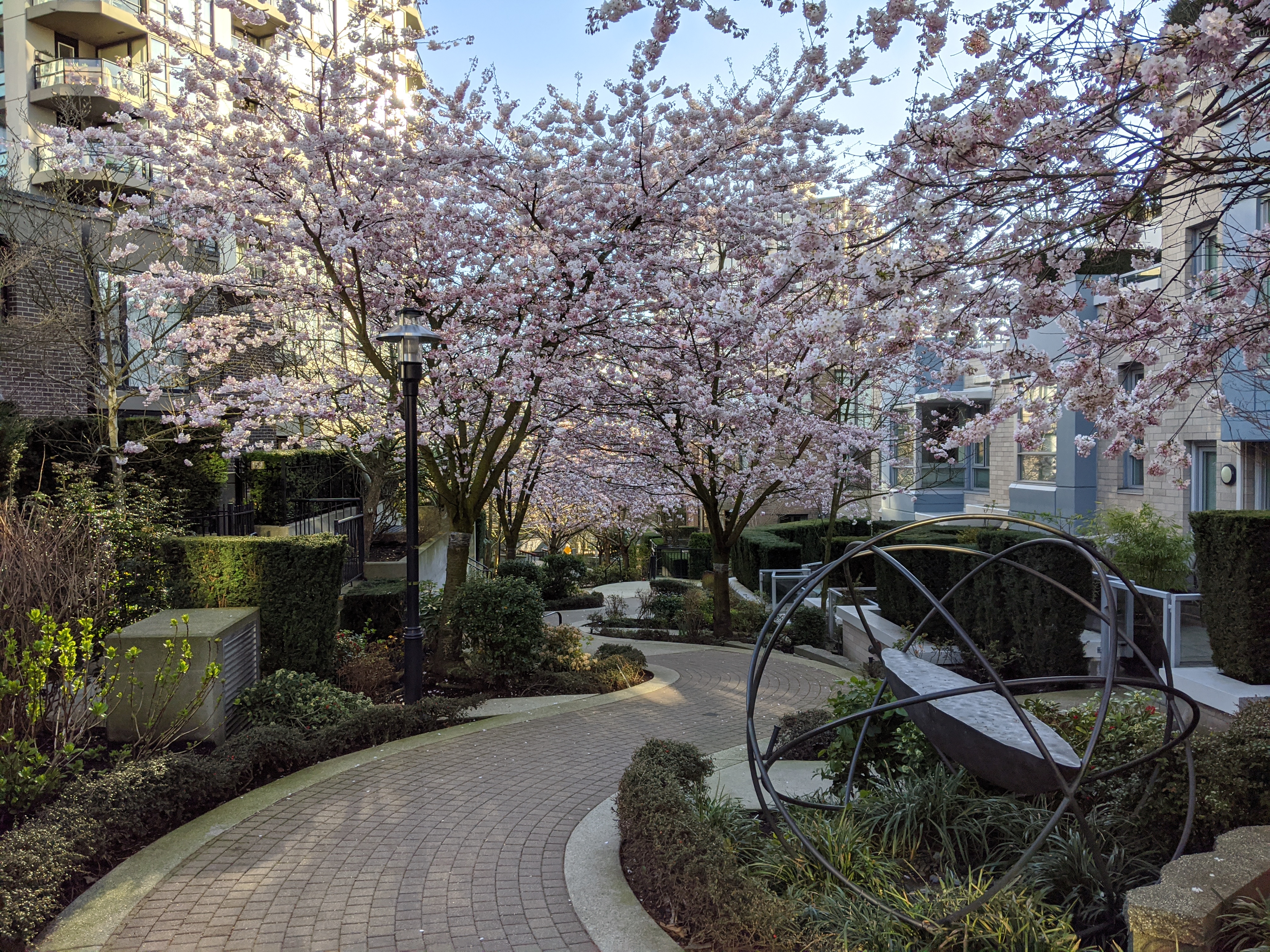
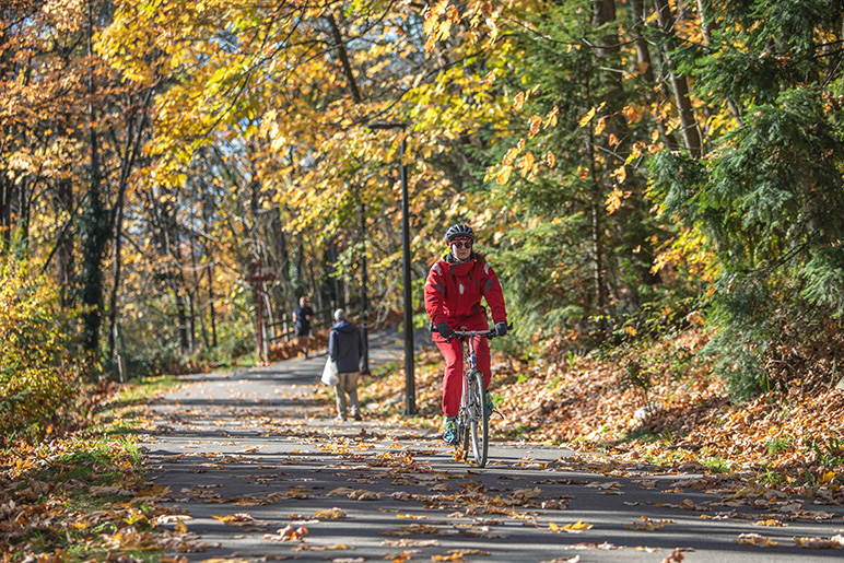
Parks and public spaces come in many different shapes and sizes. They range from large natural areas to urban plazas to narrow laneways between buildings. These are places where we play, relax, spend time in nature, meet friends, connect with community, and move through the City. They are important to our community health and wellbeing, while also supporting the natural environment.
Together, these spaces form a complete network that supports daily life within the City of North Vancouver.
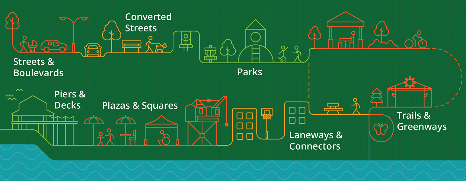
Examples of Public Spaces
Our network of public spaces in North Vancouver includes:
Parks
Plazas and squares

Piers, decks and docks
Streets and boulevards
Converted streets (re-designed as gathering spaces)
Laneways, pathways and connectors
Trails and greenways
Through this project, we are looking at this entire network of parks and public spaces as one connected system that supports daily life in North Vancouver.
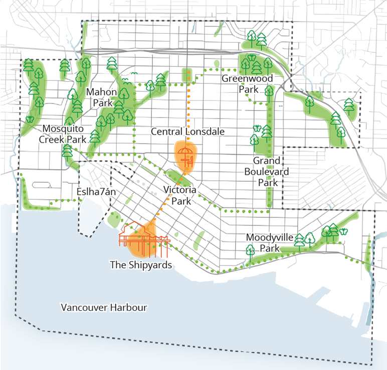
Map of Public Spaces
The map below indicates the City’s boundaries and highlights some of the major parks and public spaces. These include vibrant areas like The Shipyards and Central Lonsdale (shown in orange), large parks and ravines (green), and greenways like the Green Necklace and the Spirit Trail (dotted green lines).
Project Timeline
The project will be completed with two phases of engagement.
Gather data about the current state | Fall 2025 to Winter 2026
Project team researches the current park and public space system's strengths, pressures and potential.
Community engagement: Phase 1 | Spring 2026
Contribute to our understanding of the system and help develop a vision for the future.
Develop a vision and framework | Summer 2026 to Winter 2027
Using Phase 1 engagement and current state findings, project team develops the vision and draft strategies.
Community engagement: Phase 2 | Winter 2027
Refine the vision and framework by sharing initial strategies with the community for feedback.
Develop the final plan | Winter 2027 - Spring 2027
Project team creates the final plan using the refined vision and framework.
Share the final plan | Spring 2027
Present the proposed Parks & Public Space Plan to City Council and share the plan with the community.
Project Related Initiatives
The City’s current parks plan was prepared in 2010 and has guided park investment for more than a decade. It has helped make North Vancouver known for its high quality of life. Since then, the City has grown and community expectations have evolved. The new CNV Parks & Public Space Plan will build on past successes and update the approach to reflect these changes. It will also look at parks and public spaces as a connected citywide system.
The CNV Parks & Public Space Plan is part of a broader set of City of North Vancouver and North Vancouver Recreation and Culture (NVRC) initiatives that work together to support complete, livable communities. Some of these related initiatives have been recently completed, while others are currently in progress.
Recently completed
Together, these initiatives support coordinated planning for parks, public spaces, streets, and recreation across the City of North Vancouver.
Contact Us
Parks & Public Space Plan Team
Phone: 604-983-7333
Email: parksplan@cnv.org